


circuit des chapelles-le Val-07-09-22

Christiancordin
User
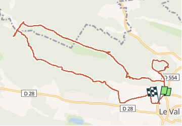

Length
14.7 km

Max alt
520 m

Uphill gradient
582 m
Km-Effort
22 km

Min alt
243 m

Downhill gradient
583 m
Boucle
Yes
Creation date :
2022-09-07 07:11:26.466
Updated on :
2022-09-09 16:57:37.518
4h12
Difficulty : Medium

FREE GPS app for hiking
 SityTrail
IGN / Geographical institutes
SityTrail Plus
The world is yours!
About
Trail Walking of 14.7 km to be discovered at Provence-Alpes-Côte d'Azur, Var, Le Val. This trail is proposed by Christiancordin.
Description
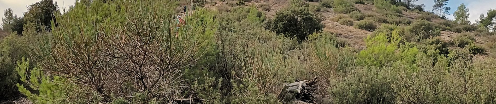
Sommet du Cuit (539m)-ND de Paracol-chapelle St Blaise-chapelle St Jacques-chapelle St Cyriaque.
Photos


Positioning
Country:
France
Region :
Provence-Alpes-Côte d'Azur
Department/Province :
Var
Municipality :
Le Val
Location:
Unknown
Start:(Dec)
Start:(UTM)
262878 ; 4814009 (32T) N.
Comments